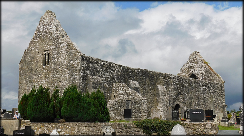
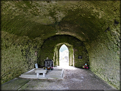
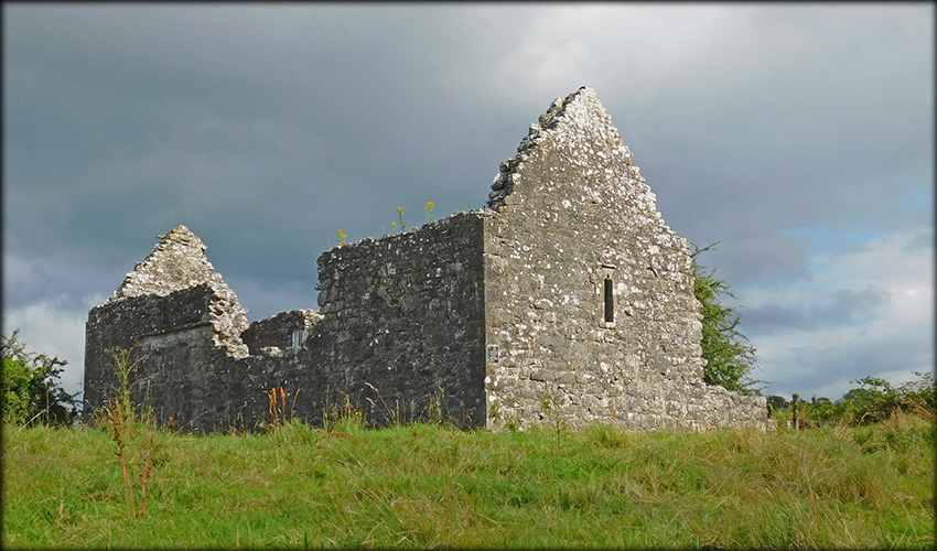
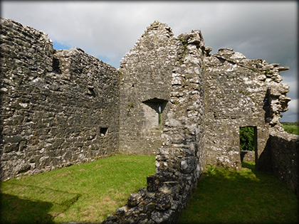
Fenagh Churches Medieval Church AKA Fenagh Abbey and Parish Church Traditionally it is believed St Caillin established a monastery at Fenagh in the 6th century. The site covers an area of about 60 acres, all we can see of the Early Christian foundation today are the curvilinear eathworks situated on both sides of the road. If you take the R202 south from the village you willl see the earthworks in the field on your left, the 14th century church sits on top of a rise at the northern end of a rectangular gaveyard. From a distance this grey roofless structure does not look very promising, but you will be in for a nice surprise, this undifferentiated structure has everything. The building internally is of 25.8 metres long by 6.9 metres wide. There is a superb, almost 10 metre long, barrel vault at the west end of the church, with wicker-centering in the ceiling. It may have supported a residential tower.
|
|
|---|---|
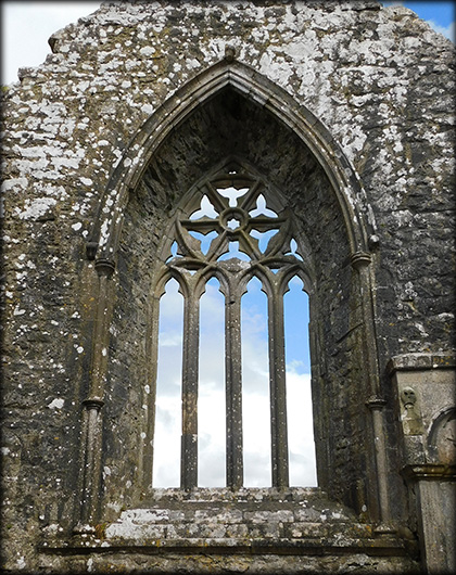
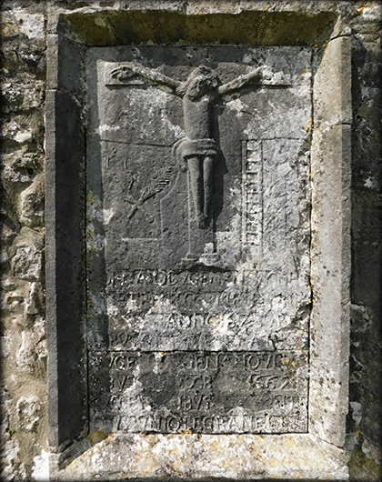
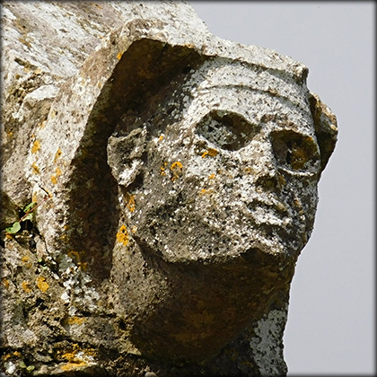
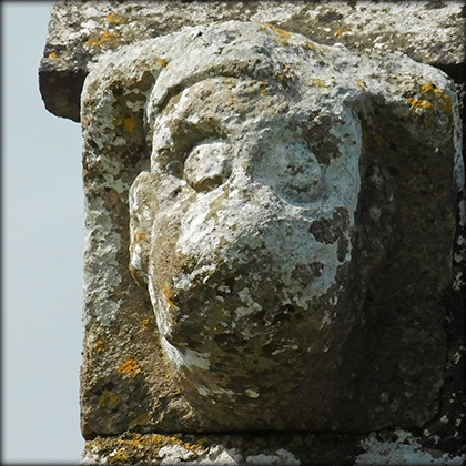
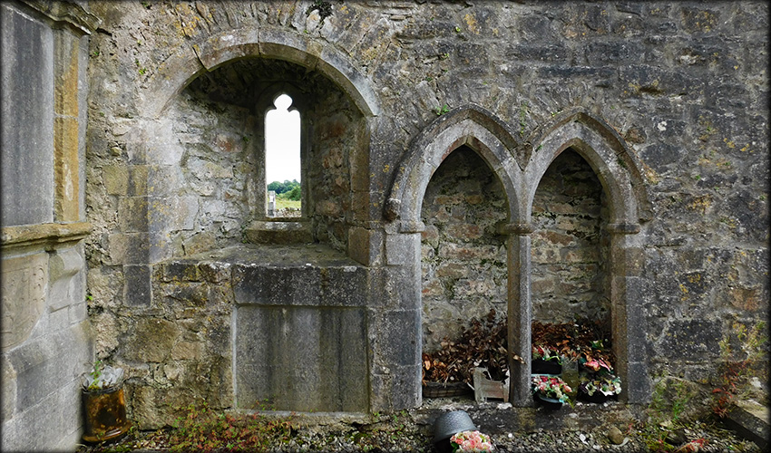
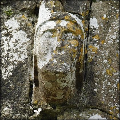
| The interior of the church is a real treat, at the east end of the south wall is a sedilia and a piscina. In the east gable is the delightful window pictured below, with 15th century tracery and four ogee-headed lights. It has carved heads for label stops with another head at the apex of the hood moulding. In the right corner of the gable is a 17th century tomb. There are four more head carvings on the four superb corbel stones, one at each corner of the structure. Built against the west end of the exterior of the south wall is a mausoleum of the O'Duignan Family, a plaque with a crucifixion is dated to 1667. The Parish church lies about 70 metres to the north west, see below. | |
|
|
|
|
|
|
|
|
|
Situated: From the village head south on the R202, just passed the school on your left you will see the church. Stop at the graveyard.ou. Discovery Map 33: H 1086 0763. Last visit Aug 2026. Longitude: 7° 50' 06.1" W Latitude: 54° 01' 04.9" N Photos: José Gutiérrez. |
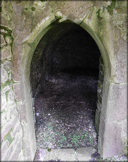
| Parish Church
|
|
 |
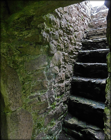 |
Situated: Different access than the main church. From the village head south on the R202. A laneway on the left hand side of St Caillin's National School will bring you to the old parish church. Discovery Map 33: H 10977 07740. Last visit Aug 2026. Longitude: 7° 49' 59.7" W Latitude: 54° 01' 08.1" N Photos: José Gutiérrez. |
 |
| Ref: | |